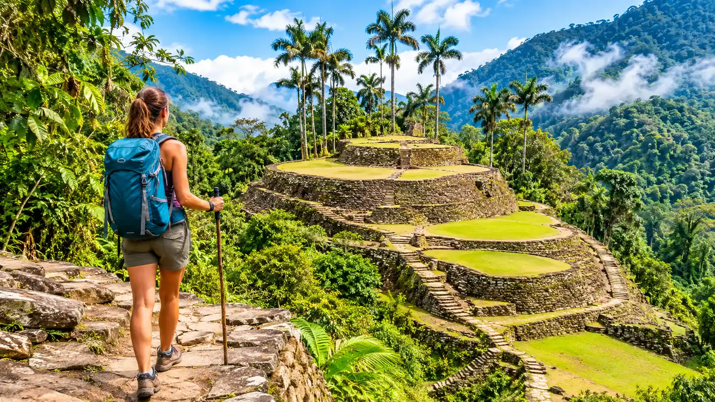
How to Get to the Lost City Trek in Colombia
Figuring out how to get to the lost city trek in colombia looks far more intimidating on a topographic map than it actually is in practice. You look at the map and see a vast expanse of jagged green mountains rising abruptly out of the Caribbean sea, with no roads leading anywhere near the archaeological site itself. It looks like an expedition from a century ago. In reality, northern Colombia has spent decades building a smooth tourist pipeline that feeds hikers from international terminals straight into the jungle.
Getting your boots on the trail comes down to a simple three-leg journey. First, you fly into Colombia and reach the northern coast. Next, you position yourself in a base town like Santa Marta. From there, your chosen expedition team handles the heavy lifting by throwing you into a 4x4 and bouncing you up into the foothills where the footpaths take over. Here is the exact ground reality of how to coordinate each leg without wasting days sitting around bus stations.
Where Is the Lost City and How Remote Is It?
Before booking transit, it helps to understand where is the lost city in relation to Colombia's road network. Locally known as Teyuna, the ancient stone city sits deep in the Sierra Nevada de Santa Marta mountain range in the department of Magdalena. This is the highest coastal mountain range on Earth. Its snow-capped peaks shoot up to 5,700 meters above sea level just 42 kilometers away from the Caribbean waves.
The ruins themselves hide much lower down, perched along a damp ridge above the Buritaca River at roughly 1,200 meters. There are zero roads here. No dirt tracks, no quad trails, no airstrips. Thick tropical rainforest covers the steep valleys, cut only by the footpaths of the indigenous Wiwa and Kogui communities and the trails beaten down by hiking groups. You cannot skip the walking part.
The physical journey on foot covers about 47 kilometers out and back. Because the site sits entirely within protected indigenous territory and the Sierra Nevada de Santa Marta National Natural Park, the Colombian government does not permit road construction anywhere near the valley. That isolation preserved the stone terraces from total looting after grave robbers stumbled across them in 1972, and it remains the main reason the trek feels so detached from modern civilization.
Book your lost city trek colombia experience:
Where to Fly Into to Do Lost City Trek Colombia
When booking flights, people often wonder where to fly into to do lost city trek colombia without losing precious vacation time sitting on night buses. You have three practical airport choices along the Caribbean coast, each offering a different trade-off between ticket price and overland travel time.
Simón Bolívar International Airport in Santa Marta is the closest hub by far. It sits right on the beach, about 15 minutes south of the historic center. While it carries the word international in its name, nearly all flights landing here are domestic connections coming from Bogotá or Medellín. Flying into Bogotá on an international ticket and booking an internal leg to Santa Marta with Avianca, LATAM, or Wingo is almost always the easiest path. You step out of the baggage claim, grab a yellow cab for about 32,000 pesos, and arrive at your hotel in under half an hour.
Barranquilla offers the next best entry point via Ernesto Cortissoz International Airport. Barranquilla gets a wider selection of direct international arrivals, including budget routes from Miami and Fort Lauderdale. Once you land, you catch an air-conditioned door-to-door shuttle bus with a company like Berlinas del Fonce or Marsol. The drive from Barranquilla to Santa Marta takes roughly two hours along a paved coastal highway, costing around 40,000 pesos. It is an easy trip, although traffic around the Magdalena River bridge can crawl during Friday afternoons.
Cartagena is the third option. Rafael Núñez International Airport welcomes direct flights from Europe, North America, and South America, making it a common favorite for travelers stitching together a longer Colombian holiday. Cartagena sits 220 kilometers west of Santa Marta. Catching a Berlinas van from their terminal in Marbella takes four to five hours depending on how many passengers get dropped off along the way. Honestly, if you only care about the trek, do not fly into Cartagena. The coastal drive eats an entire day of travel each way.
| Airport | Code | Overland Time to Santa Marta | Transit Type | Approx. Transit Cost (COP) |
|---|---|---|---|---|
| Santa Marta | SMR | 25 mins | Local Taxi | 30,000 - 35,000 |
| Barranquilla | BAQ | 2 hours | Direct Shuttle / Van | 38,000 - 45,000 |
| Cartagena | CTG | 4.5 to 5.5 hours | Direct Shuttle / Van | 55,000 - 70,000 |
Pro tip: If flying into Santa Marta, try to get a window seat on the left side of the aircraft. Planes usually bank over the ocean before landing parallel to the surf, giving you a stunning view of the Sierra Nevada mountains dropping straight into the Caribbean.
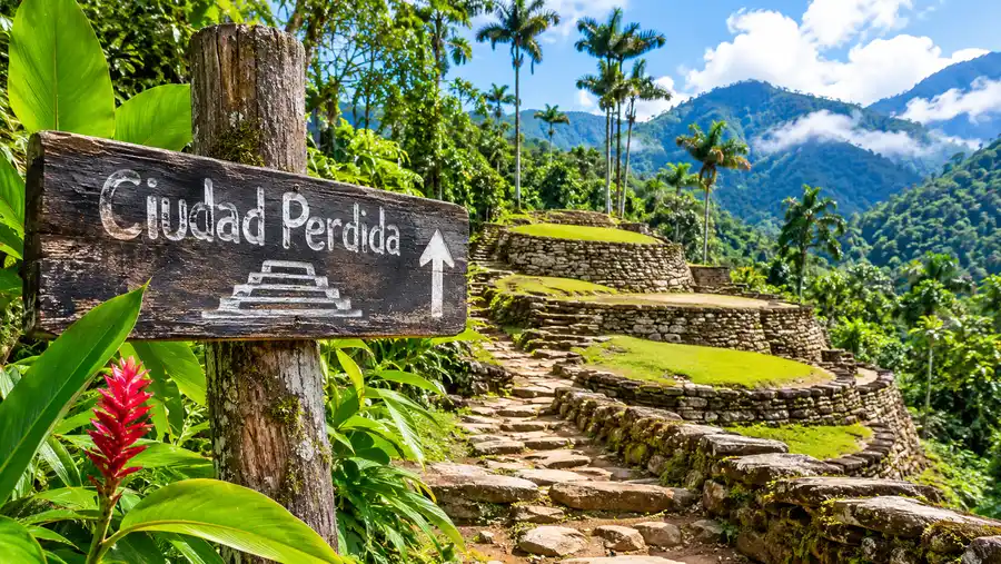
The True Lost City Trek Colombia Starting Point: El Mamey
Most travelers mistakenly believe their hike begins right outside Santa Marta. In truth, the actual lost city trek colombia starting point is a tiny jungle outpost named El Mamey, occasionally called Machete Pelao by locals. The village is little more than a dusty strip of concrete, wooden huts, small grocery stalls, and a staging area where pack mules stand under wooden shelters.
El Mamey sits about 50 kilometers east of Santa Marta. To get there, you travel along the paved Troncal del Caribe highway past the entrance gates of Tayrona National Park. Just past the small hamlet of Guachaca, the vehicle turns off the smooth asphalt and heads inland onto an unpaved mountain track. This rough dirt road climbs along steep ridges for about 12 kilometers.
You cannot drive this final stretch in a regular rental car. During the dry months between December and March, the track turns into deep, blinding dust. When the tropical rains hit between May and November, it transforms into thick red clay that swallows wheels up to their axles. Only high-clearance 4x4 Toyota Land Cruisers or dirt bikes manage the climb. The drive from the highway turnoff up to El Mamey takes about an hour of bone-jarring bumps, crossing shallow streams and winding around blind cliff turns.
Once the truck stops in El Mamey, the motor transport ends. You eat a quick lunch, fill your water bottles, strap on your pack, and start climbing the dirt track on foot. From this exact spot, you have roughly eight kilometers of steep, sunny walking before reaching the first river camp.
Book your lost city trek colombia experience:
Choosing Your Base Town Before the Hike
You will need a place to sleep the night before your trek begins, and somewhere safe to leave your rolling luggage while you carry only a small backpack into the jungle. You have four logical base areas along the coast, each with its own character.
- Santa Marta historic center: The most practical base. Tour operators run their main offices here, so morning pickups happen first and require no added transfer fees. It has plenty of ATMs that actually work, pharmacies for last-minute blister kits, and lively evening squares filled with street food.
- Taganga: A former fishing village tucked behind a dry ridge five kilometers north of Santa Marta. It attracts scuba divers and backpackers looking for cheap hostels, but the hillside walks can feel a bit deserted late at night.
- Minca: A cool mountain village located 45 minutes inland from Santa Marta. Some hikers prefer staying up here in the cloud forest to escape the brutal coastal heat, though you may need to coordinate an early taxi down to meet the trek jeep.
- Palomino: A laid-back beach strip an hour and a half east of Santa Marta. If you stay in Palomino, tour vehicles can scoop you up directly from the highway on their way toward the El Mamey turnoff, saving you from backtracking to the city.
Note: Pickups outside downtown Santa Marta often need to be confirmed directly with your operator at least 48 hours prior. Some companies will charge an extra fee to fetch you from secluded ecolodges far off the main highway.
Can You Attempt the Lost City Trek Colombia Without Guide?
Independent hikers often want to tackle the route alone with a tent and a GPS track. The short answer is no. Attempting the lost city trek colombia without guide accompaniment is strictly prohibited by Colombian federal authorities, the national park service, and the indigenous governing bodies that own the land.
You simply will not make it past the trailheads. The route passes directly through communal indigenous reserves belonging to the Kogui, Wiwa, Arhuaco, and Kankuamo peoples. Checkpoints manned by local community members stand at several trail junctions and river crossings. If you walk up without a certified guide wearing a registered tour company wristband, you will be turned back immediately. There are no sneaky alternate valleys or bypass trails. The canyon walls are far too steep, and navigating off-trail in the Sierra Nevada is genuinely dangerous due to flash floods and thick jungle growth.
This regulation is not just bureaucratic red tape designed to extract cash. It keeps the footprint controlled and ensures that a significant portion of your tour payment goes directly into the indigenous communities through trail maintenance funds, food purchases, and mule driver wages. Exactly five authorized agencies handle permits and guide assignments for the trail. Whichever one you book, they handle every single logistical step from the moment they pick you up in Santa Marta to the moment they drop you back off covered in dry mud four days later.
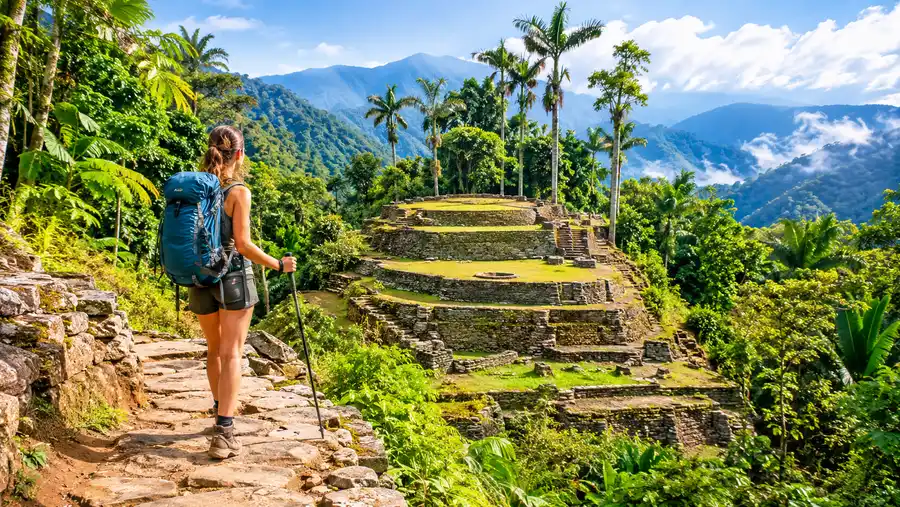
Step-by-Step Logistics: From Your Bed to the Trail
Knowing what the actual morning of departure looks like helps calm the travel nerves. The process runs like a well-oiled machine every single day of the year, rain or shine.
- Morning pickup: Between 8:00 AM and 9:00 AM, a shared 4x4 or transport van pulls up to your hotel in Santa Marta. You pack only a 20 to 30-liter daypack containing your clothing for the next four days.
- Luggage storage: You leave your main suitcase or heavy backpack behind. Every reputable hotel in Santa Marta provides free, secure luggage storage for trekking guests, as do the tour agencies' downtown offices.
- Highway drive: The vehicle heads east out of Santa Marta on the Troncal del Caribe highway for roughly an hour and a half, passing through coastal banana plantations and roadside fruit stands.
- The mountain ascent: The truck turns onto the dirt mountain pass near Guachaca. You spend the next 60 minutes bouncing up the gravel switchbacks into the jungle foothills.
- Trailhead arrival: You pull into El Mamey around noon. Guides introduce themselves, you eat a hot plate of fish, chicken, rice, and fried plantains, and by 1:00 PM, you take your first strides up the trail.
Returning follows the exact reverse path. On your final day, you hike the last section of trail back into El Mamey by midday, eat lunch, pile back into the muddy Land Cruisers, and reach Santa Marta around 4:30 PM. Most hikers head straight for a cold shower and a cold beer.
Frequently Asked Questions about how to get to the lost city trek in colombia
What is the closest international airport to the Lost City?
The closest major international hub is Rafael Núñez International Airport in Cartagena, but Ernesto Cortissoz in Barranquilla is much closer geographically. The easiest option overall is booking an international flight to Bogotá or Medellín, followed by a domestic hopper flight directly into Santa Marta's Simón Bolívar Airport.
Can I drive a rental car to the starting point in El Mamey?
No, driving a rental car to El Mamey is a terrible idea. The final 12 kilometers consist of steep, unpaved mountain switchbacks filled with deep mud ruts, exposed boulders, and river crossings. Rental car agreements forbid driving on these roads, and standard passenger cars will get stranded or suffer undercarriage damage within the first mile.
How do I get to Santa Marta from Cartagena?
The most reliable method is booking a seat in an air-conditioned shared shuttle van operated by companies like Berlinas del Fonce or Marsol. Tickets cost between 55,000 and 70,000 Colombian pesos, and the trip takes about four to five hours depending on regional highway traffic.
Quick Reference
- Main staging city: Santa Marta, Colombia
- Closest domestic airport: Simón Bolívar (SMR), 25 minutes from town
- Trailhead village: El Mamey (also called Machete Pelao)
- Transit to trailhead: 2.5 hours total (1.5 hours highway, 1 hour rough 4x4)
- Guide requirement: 100% mandatory by Colombian and indigenous law
Book your lost city trek colombia experience:
The Bottom Line
Do not let the remote mountain location scare you away from organizing the logistics yourself. You do not need an expensive private international travel agent to piece the itinerary together. Book a simple flight connection into Santa Marta, find a comfortable bed in the historic center for the night before, and pick one of the certified local trekking operators. Once you step into their 4x4 on day one, the logistics are entirely handled for you, leaving you free to focus on climbing stone steps and taking in the misty jungle ridges.
Read more about lost city trek colombia.